ASHEVILLE, N.C. (828newsNOW) — Time is running out for residents across Western North Carolina to prepare for a major ice storm expected to begin Saturday night and worsen through Sunday, bringing dangerous ice buildup and the risk of extended power outages.
The National Weather Service office in Greenville-Spartanburg said Saturday that an Ice Storm Warning remains in effect from 1 p.m. Saturday through 1 p.m. Monday for Western North Carolina, northeast Georgia, the North Carolina Piedmont and Upstate South Carolina. Forecasters urged residents to complete storm preparations before conditions deteriorate later Saturday as precipitation rates increase.
Ice accumulations approaching or exceeding three-quarters of an inch are possible in parts of the region, an amount capable of bringing down trees and power lines. Officials warned that travel could become extremely difficult or impossible and that power outages could last for several days.
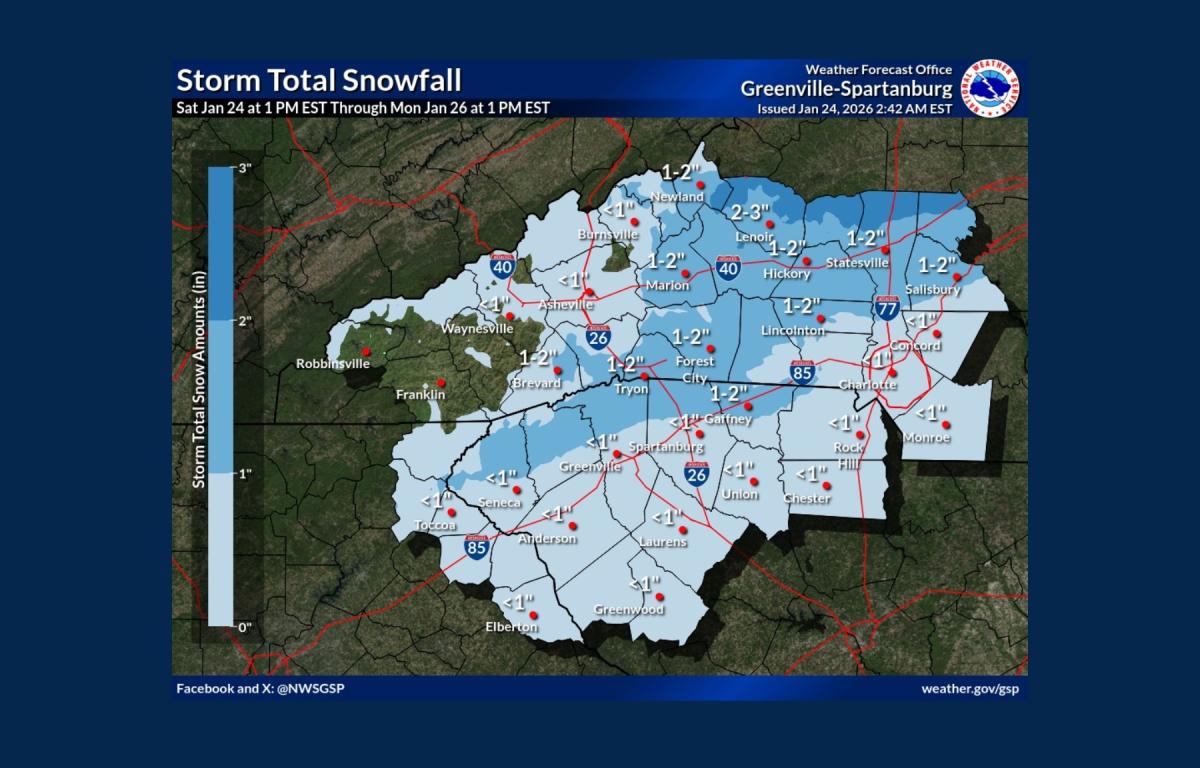
Light precipitation was already approaching western portions of the forecast area Saturday morning, with light snow possible near the Great Smoky Mountains and a dusting possible in higher elevations. Sprinkles, flurries or light sleet were also possible in lower elevations of northeast Georgia and the Upstate.
Meteorologists said the storm may be followed by a prolonged period of bitter cold. After wintry precipitation ends early Monday, temperatures are expected to remain well below normal through much of next week. Dangerous wind chills are forecast Monday night into Tuesday morning, with another surge of cold air likely to bring similarly hazardous conditions Wednesday night and Thursday night.
“The extended cold will be especially dangerous given the possibility of long-duration power outages,” the weather service said, adding that roads are likely to remain icy and treacherous into early next week.
Chris Justus, chief meteorologist at WYFF 4, said new high-resolution forecast models show ice totals increasing again in some areas, raising the possibility of a devastating, potentially record-breaking ice storm not seen in the region in about 20 years.
In the Asheville area, forecasters said conditions will remain relatively calm through much of Saturday before deteriorating late in the day. Snow is possible after late morning, mixing with sleet by evening, before transitioning to freezing rain overnight. Ice accumulations of up to a few tenths of an inch are possible through Sunday, with additional sleet accumulation possible overnight Saturday.
Residents are urged to monitor NOAA Weather Radio, local media and official forecasts at weather.gov for updates and to avoid travel once conditions worsen.